Flood risk studies
We need to know where areas of highest flood risk are so we can manage them effectively and help residents to prepare.
Quick links
Flooding from large brooks and rivers
The Environment Agency is responsible for predicting areas at risk of flooding from large brooks, rivers and the sea. In Leicester it is responsible for flood risk from the River Soar and the large brooks running through the city. A map of these watercourses is at the bottom of the page.
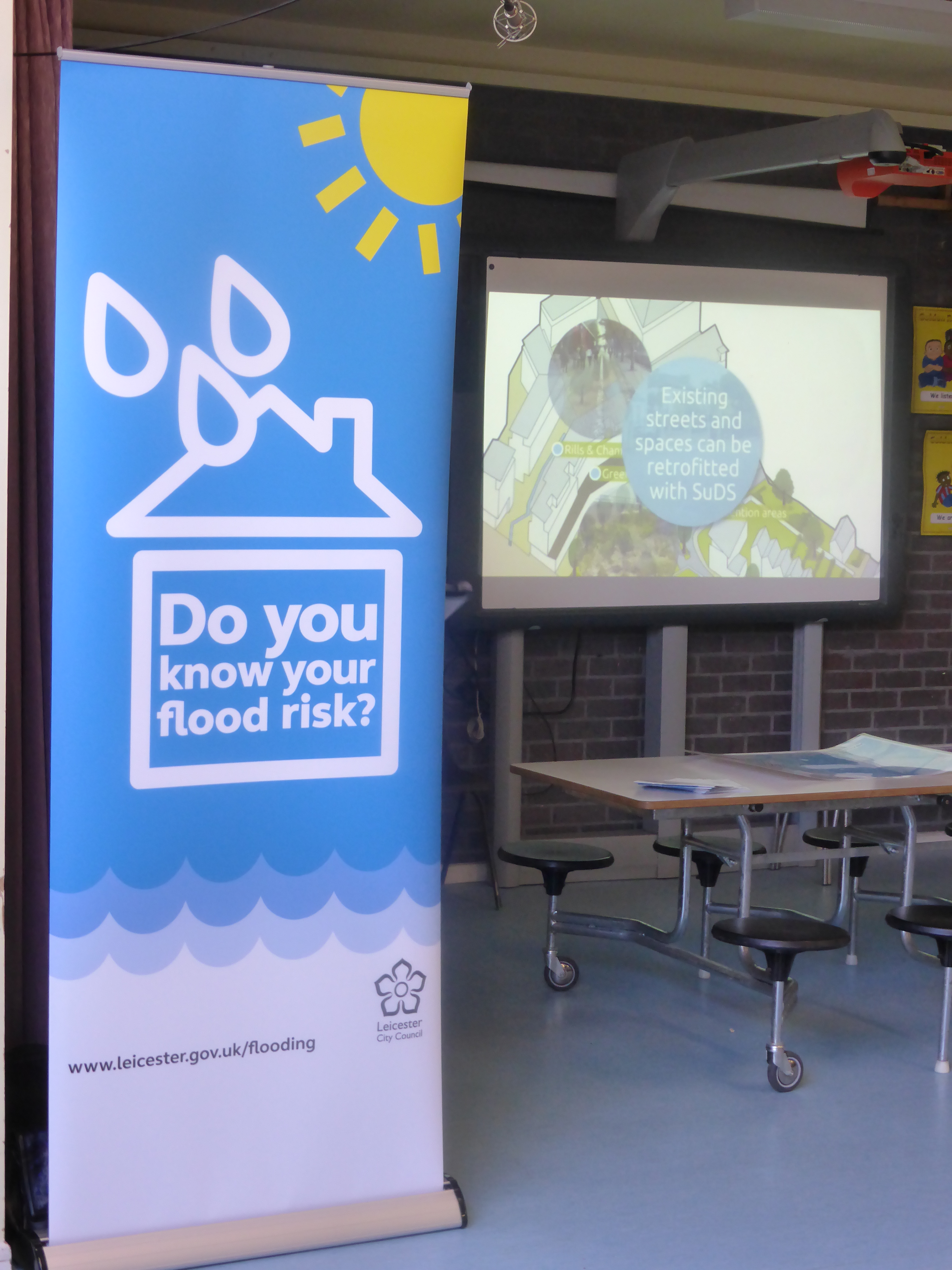
Surface water flooding
Surface water flooding is flooding is the result of heavy rainfall, small watercourses overflowing their banks or groundwater flooding, which is where water rises back to the surface from underground. It is our responsibility to manage surface water flooding. We have carried out initial assessments to understand the areas of the city at risk.
Preliminary flood risk assessment
This is our first step to understanding the areas at risk of surface water flooding. The report can be downloaded at the bottom of the page.
Leicester has been designated a nationally significant flood risk area due to the number of people at risk, as more than 30,000 people could be at risk of flooding from a severe rainfall event.
Please note, this report does not indicate individual properties as being at risk of surface water flooding. It should not be used for emergency planning or development planning purposes.
Surface water management plan (SWMP) and strategic flood risk assessment (SFRA)
The SWMP provides us with detailed information about the risk of surface water flooding to the city. It includes:
- A computer model of the whole city in which different floods can be simulated, which predicts the areas most likely to flood from different types of storm
- Modelling of flooding from some of the smaller watercourses around the city which are known to lead to flooding
- Detailed modelling of some of the areas found to be at risk from surface water to investigate possible solutions
- A new strategic flood risk assessment (SFRA) to update the current one carried out in 2004.
The SFRA contains the best information available on historic and sewer flooding and should be the first port of call for anyone wanting to understand the different areas at risk of flooding in Leicester.
The reports can be downloaded below, and it is recommended they are read together. Please contact us if you have trouble downloading the documents or need them individually.
Flooding from sewers
Severn Trent Water is generally responsible for flooding from sewers. You should report flooding to them, but please try to notify us as well.