Aylestone Meadows Flood Alleviation and Green Infrastructure Scheme
The overall aim of this project is to develop a capital scheme to increase floodplain storage capacity and help protect houses and properties from flooding.
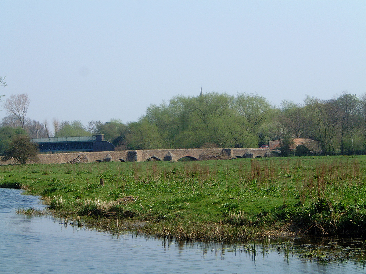
Background
Aylestone Meadows is Leicester’s largest nature reserve and is dissected by several watercourses that flow through its centre, including the River Biam which flows in a Northerly direction towards the city centre. The River Biam is bounded by grazing fields to the West and swamp/marsh to the East which form important areas for wildlife and biodiversity. The site contains a network of formal and informal pathways and boardwalks to help people access and enjoy the site.
Although the River Biam contains natural features such as pools, riffles and a diverse range of vegetation, it has also been straightened previously along a section of the water course flowing through the project area.
The project
The overall aim of the project at Aylestone Meadows is to develop a capital scheme to increase floodplain storage capacity upstream of the city and help protect houses and property from flooding; create new habitat for wildlife within the nature reserve by increasing diversity and improved public access around the site by up-grading pathways, pedestrian gateways and connectivity across the site.
The design will re-instate some natural meanders and riffles which will help to create similar features to those found at Pebble Beach, and other shingle/gravel beds along the river’s banks. This will slow the flow and help water to be stored for longer. By re-creating these features, it will provide additional habitats whilst also relieving pressure on honey pot areas such as Pebble Beach.
Programme of work
Phase 1
The scheme at Aylestone Meadows will be split into two phases. The first phase will include works to the West of Pebble Beach and the River Biam. Three wetland scrapes will be created to provide additional flood storage capacity, opportunities for habitat creation and improve views of the river for visitors. The excavated earth will be re-graded in carefully selected areas and a series of habitat mounds will be built into the spoil area to provide further biodiversity enhancements.
Fencing in the grazing fields was upgraded earlier in 2019 as part of the first phase to ensure that the fields are fully stock-proof. This will help to secure a good grazing tenant and therefore provide better management of the fields. Final plans for the first phase are available to view at the bottom of this page.
A contractor has been appointed for the first phase of works, which are due to start the week commencing 30 September 2019 for a period of 8 weeks. To ensure works can be completed safely and comprehensively, a section of footpath and board walk will be closed during daylight hours to pedestrians and cyclists. A localised diversion route will be available and clearly signposted.
Phase 2
The second phase of works will be focused to the east of the River Biam and Pebble Beach and includes a number of measures. These measures include:
- Enhancements to the river channel itself to reinstate meanders to slow the flow, reduce flood risk and enhance the ecological value of the river channel;
- The reinstatement of wet/marsh areas adjacent to the boardwalk by excavating out the silt and removing invasive willow and scrub to help encourage wetland plants and associated amphibians and reptiles.
- Improvements to the boardwalk around the site to improve access.
- Riverbank erosion protection.
Detailed designs for the second phase of works is available at the bottom of the webpage. Works are anticipated to start on site September 2020 and last approximately eight weeks.
Strategy and funding
The project forms part of the River Soar and Grand Union Canal Access and Environmental Improvement Programme and is funded by the Local Growth Fund (LGF) through the Leicester and Leicestershire Enterprise Partnership (LLEP). This is a partnership programme between Leicester City Council, The Environment Agency and The Canal and River Trust to provide access and environmental improvements along the canal and river corridor between 2015 and 2021.
Contact us
If you have any questions regarding the works or if you have problems accessing or viewing the document below, please send us an email development-team@leicester.gov.uk.